
ROUTE
Distance cca 650 km / 14 500 m elevation
Start and finish
- The start of SD is in the west of Slovakia under the mountains of the Little Carpathians (near Modra).
- The destination is in the east of Slovakia, near Slovakia east border.
- The set time limit for completing the route is 200 hours.
Length
- The length of the route is about 650 km
- The starting point and destination point are provided - the route is in the form from point A to point B without checkpoint.
- A finall version of the route will be sent to the participants in a GPX file, one month before the start.
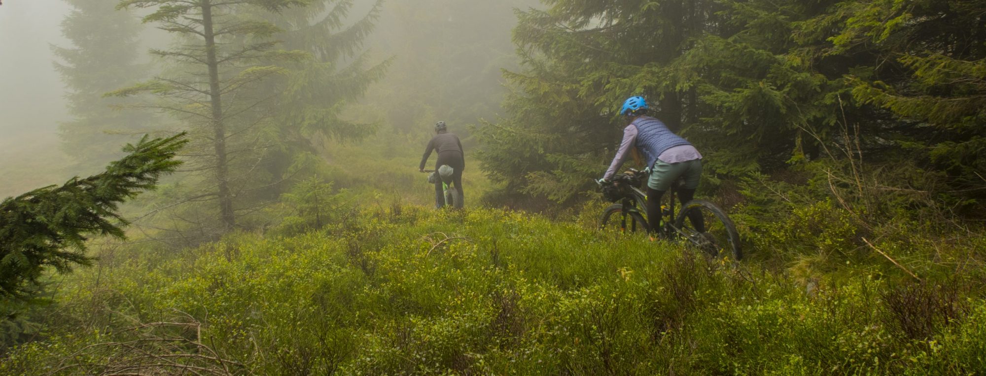
The route and its character
- Tracing and route optimization was guided by experience. Experience beautiful nature, wild ridges, nice descents and trails.
- The route will also cross our only 200 km continuous ridge, where we can consider a mountain village and a few huts in saddles as a civilization. It is necessary to prepare for the difficult overlaps and the challenges in overcoming them and the psychological demands to overcome these obstacles